YEARS · ALTIMETRY RECORD
30+
AGENCIES INVOLVED
5
MISSION IN SERIES
6th
RECORD START · TOPEX
1992
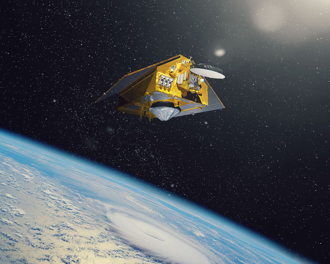
NASA and ESA's Sentinel-6B satellite is being prepared to serve as the reference mission for global sea surface height measurements. The spacecraft, depicted in a newly released artist's concept (PIA26803), will orbit Earth in a configuration designed to provide continuous, high-precision ocean altimetry data — the kind of measurement that every other sea-level satellite calibrates against.
Extraction Map
The Sentinel-6 program is the latest link in a measurement chain stretching back to TOPEX/Poseidon in 1992, through Jason-1, Jason-2, Jason-3, and Sentinel-6A (also known as Jason-CS A, launched in November 2020). Each successor has been engineered to overlap with its predecessor, ensuring an unbroken record of sea surface height data spanning more than three decades. That continuity is not academic — it is the backbone of global sea-level rise monitoring. Sentinel-6B's designation as the "reference satellite" matters structurally. Other missions measuring ocean topography — from CryoSat-2 to SWOT — cross-calibrate their instruments against the reference altimeter. If the reference record breaks or degrades, every downstream measurement inherits that uncertainty. The reference satellite is infrastructure in the most literal sense: invisible when it works, catastrophic when it doesn't. The mission is a joint effort between NASA's Jet Propulsion Laboratory, ESA, EUMETSAT, NOAA, and CNES. That five-agency architecture distributes both cost and institutional risk, but it also means coordination overhead and dependency on sustained political commitment across multiple governments and budget cycles. The artist's concept released by JPL shows the satellite in its operational orbit configuration. No launch date is specified in the current release, but the mission sits within the established Copernicus program timeline. The imagery — available in multiple high-resolution JPEG formats — serves both public communication and institutional record-keeping. What makes this worth tracking is not the satellite itself but what it protects: an unbroken 30+ year climate data record that cannot be reconstructed if it lapses. Every year of continuity compounds the scientific value of the entire archive. Every gap introduces uncertainty that propagates forward indefinitely.
Worth reading?
RECOMMENDED
Score
64
/100
Generative. This is pure public-good infrastructure — open climate data that enables science, policy, and adaptation globally, with no rent-seeking intermediary.
What Is GRIN?
GRIN stands for Generativity, Resilience, Innovation efficiency, and Novelty openness. These four dimensions capture the essential characteristics of any memetic intelligence — whether a nation, a corporation, a religion, or a movement.
About GRINGenerativity
4/5
Resilience
2/5
Efficiency
3/5
Novelty
2/5
Extractive
0/5
Inverted
Does this create new capability or just redistribute existing value?
Strongly generative. Extends a 30+ year open-data altimetry record used by thousands of researchers, coastal planners, and insurers worldwide. No proprietary capture.
Verified Facts (4)
Artist's concept shows the Sentinel-6B satellite
Sentinel-6B will become the reference satellite for other missions studying sea surface height
Image ID: PIA26803
Credits: NASA/JPL-Caltech
More latest news
Read all