ICE AREA LOST
98%
REMAINING · 2025
0.09 km²
THICKNESS · 2010-24
32→0m
FULL DISAPPEARANCE
~2030
The glaciers atop Puncak Jaya in Indonesia's Sudirman Range are functionally dead. That's the plain reading of nearly four decades of Landsat imagery and ground measurements compiled by Indonesian climate scientist Donaldi Permana and corroborated by retired University of Maryland glaciologist Chris Shuman. The ice that remains — roughly a dozen soccer fields' worth — no longer flows, no longer accumulates new mass, and no longer qualifies as glacial in any meaningful sense.
Extraction Map
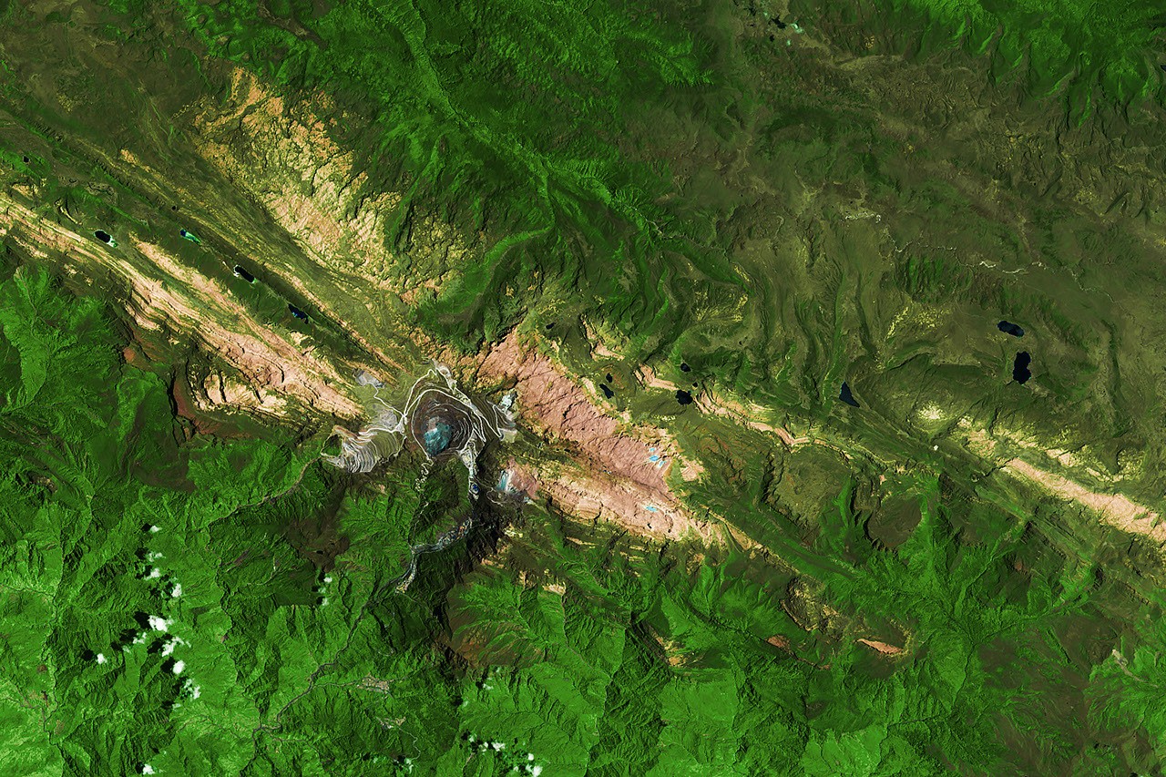
The numbers are stark. In 1988, glacial coverage stood at 4.31 square kilometers. By September 2025, that figure had collapsed to 0.09 square kilometers — a 98% reduction. The primary monitoring site on the East Northwall Firn measured 32 meters of ice thickness in 2010; by 2023, it was 4 meters; by November 2024, zero. The ice didn't retreat gradually. It shattered. The mechanism is self-reinforcing. As glaciers thin, they fracture into smaller fragments. Each fragment exposes new edges to warm air, accelerating melt. Freshly exposed dark bedrock absorbs more solar radiation than reflective ice, creating a local heat feedback. Snow still falls at these elevations, but it cannot persist on bare rock long enough to reconstitute ice mass. Shuman calls it a "house of cards problem" — once the fragmentation cascade begins, reversal is physically implausible. El Niño events function as accelerants. During the 2015-2016 El Niño, the freezing level rose above the summit, converting snowfall to rain. The ice lost 5.3 meters of thickness in a single year — roughly five times the normal rate. The 2023-2024 El Niño delivered another 2 to 4 meters of annual thinning. BMKG estimates suggest the current El Niño could hasten complete disappearance well before the satellite-derived estimate of around 2030. Puncak Jaya's glaciers sit in the Western Pacific Warm Pool, beside the largest expanse of warm ocean water on Earth. They represent the warmest conditions under which perennial ice can exist — or could exist. Scientists have long treated them as a canary alongside Venezuela's Humboldt Glacier remnants, Peru's Quelccaya Ice Cap, and Kilimanjaro's ice fields. The canary is now dead; the question is how soon the others follow. The Landsat record provides unusually clean observational integrity here. Thematic Mapper data from 1988 and Operational Land Imager data from 2026 use false-color composites that sharply distinguish ice from bedrock and cloud. Hematang et al. (2026) published a four-decade Landsat analysis in Cold Regions Science and Technology, and Permana's BMKG team plans a December aerial survey for updated measurements. This is not modeling — it's direct observation of physical absence. What makes Puncak Jaya significant beyond its geography is the feedback template it demonstrates. Fragmentation, albedo loss, elevation-dependent warming, and El Niño sensitivity are not unique to this glacier. They operate everywhere tropical ice exists. The difference is that Puncak Jaya reached the terminal phase first, offering a precise chronological template for what's coming to every other tropical glacier within a generation.
Worth reading?
SKIP
Score
28
/100
Extractive — atmospheric carbon concentration is extracting the last physical ice from equatorial altitudes with zero institutional mechanism to slow, compensate, or adapt. The loss is irreversible and the feedback loops accelerate it.
What Is GRIN?
GRIN stands for Generativity, Resilience, Innovation efficiency, and Novelty openness. These four dimensions capture the essential characteristics of any memetic intelligence — whether a nation, a corporation, a religion, or a movement.
About GRINGenerativity
0/5
Resilience
0/5
Efficiency
3/5
Novelty
3/5
Extractive
4/5
Inverted
Does this create new capability or just redistribute existing value?
Zero generativity. Ice loss creates no new capability — it destroys a climate archive, a hydrological buffer, and a scientific baseline. The only output is data documenting the loss itself.
Verified Facts (8)
In 1988, the glaciers covered about 4.31 square kilometers (1.66 square miles)
By September 2025, satellite and aerial data showed that only about 0.09 square kilometers (0.03 square miles) remained
Measurements at the primary monitoring site on the East Northwall Firn showed a drop from 32 meters (105 feet) thick in 2010 to 4 meters (13 feet) in 2023
By November 2024, the ice at this site was gone
During the 2015-2016 El Niño, the ice thinned about five times faster than usual, losing roughly 5.3 meters (17 feet) of thickness in a single year
The 2023-2024 El Niño brought another bout of rapid thinning, about 2 to 4 meters (7 to 13 feet) per year
Recent satellite studies suggest complete disappearance of the main glacial ice areas could occur around 2030
Acquired in 1988 by the TM (Thematic Mapper) on Landsat 5 and in 2026 by the OLI (Operational Land Imager) on Landsat 9
More latest news
Read all