WED AM LOWS
Upper 30s
SEASONAL AVG HIGH
70°F
WEEKEND RAIN CHANCE
20-30%
STORM · TRAVEL DAYS
Mon–Tue
Central Texas is in the middle of a short, clean stretch of fall weather that will hold through Friday before two storm systems arrive in sequence ahead of Thanksgiving. Wednesday morning temperatures dip into the upper 30s in rural areas and low 40s near I-35, climbing to seasonal-average highs near 70°F by afternoon under mostly clear skies with light east-northeast winds.
Extraction Map
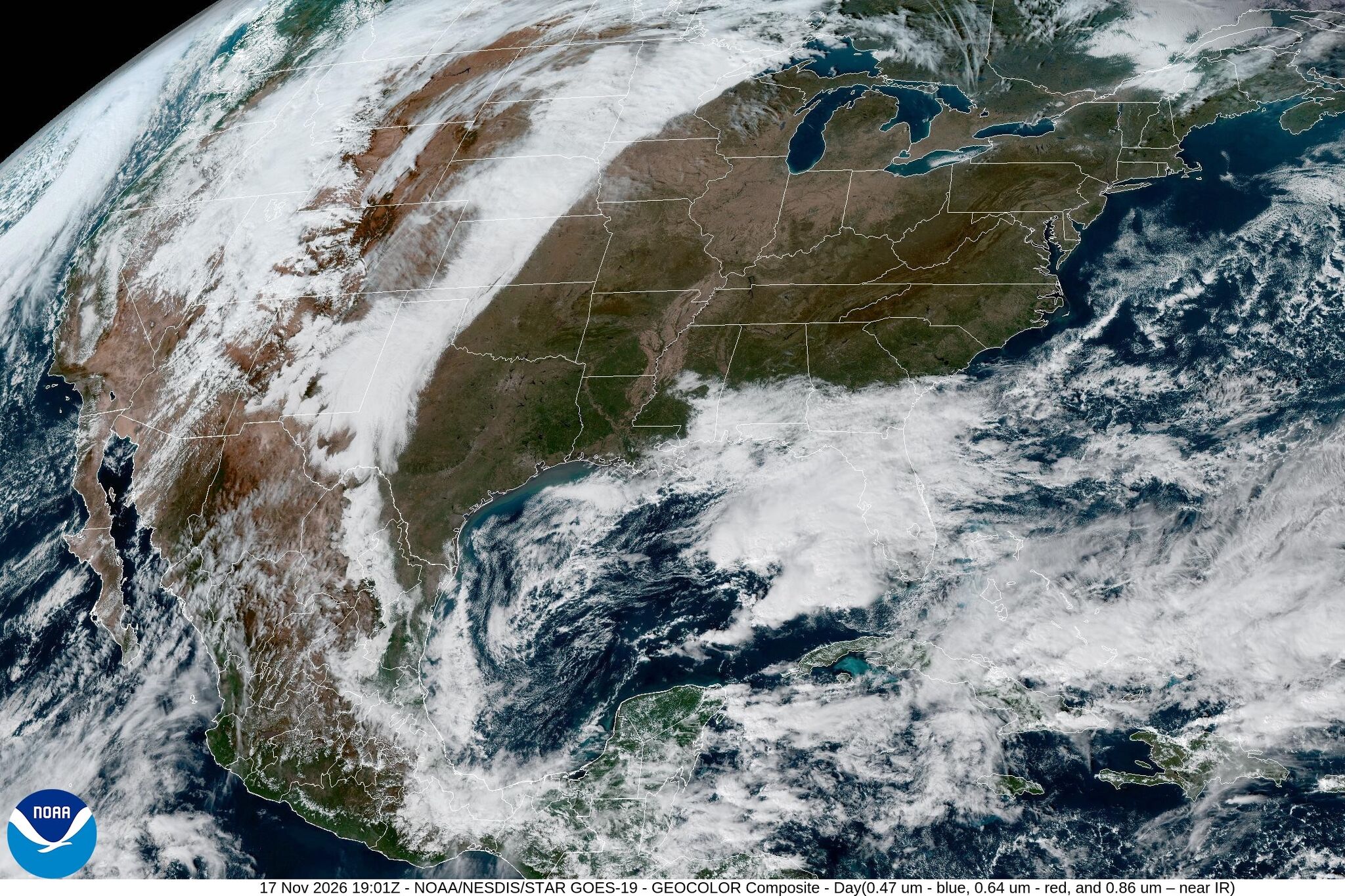
Thursday stays uneventful but cloudier, with an even mix of sun and clouds, morning temps in the upper 40s to low 50s, and afternoon highs in the upper 60s to low 70s — right at mid-November norms. Friday brings clearing skies and a wind shift to the southeast, pulling Gulf moisture into the region. Morning lows rise to the mid-50s, and afternoon highs push into the mid-70s, slightly above seasonal averages. The first disruption arrives over the weekend. A weak cold front moves through Saturday into Sunday, increasing clouds and introducing a 20% to 30% rain chance. The system looks faster-moving than the past two weekends' all-day gray washouts, and the trailing air mass behind it is not particularly cold — Saturday highs could still reach the 70s, with Sunday cooling into the 60s. The more consequential system follows Monday into Tuesday. A stronger, more widespread storm brings a higher rain chance across the region, landing squarely on the busiest travel days of the Thanksgiving week. The National Weather Service and local forecasters flag this as the system worth watching for anyone planning to drive Texas highways Tuesday or Wednesday. Austin recorded its coldest morning temperatures since last March on Tuesday, and satellite imagery showed clouds clearing across much of the state. The brief cold snap underscores a pattern of oscillating air masses characteristic of late-November Texas weather, where pleasant stretches get bookended by frontal passages. The forecast carries real logistical weight for the millions of Texans who travel by road during Thanksgiving week. The Monday-Tuesday storm's timing — still several days out and subject to revision — aligns with peak departure windows. Meteorologist Mary Wasson of the Austin American-Statesman advises staying weather-aware and checking forecasts frequently as models sharpen.
Worth reading?
OPTIONAL
Score
48
/100
Neutral — this is informational weather reporting with no extractive or generative policy dimension. Value lies in public preparedness.
What Is GRIN?
GRIN stands for Generativity, Resilience, Innovation efficiency, and Novelty openness. These four dimensions capture the essential characteristics of any memetic intelligence — whether a nation, a corporation, a religion, or a movement.
About GRINGenerativity
1/5
Resilience
2/5
Efficiency
3/5
Novelty
1/5
Extractive
0/5
Inverted
Does this create new capability or just redistribute existing value?
No new capability created. Standard NWS-sourced local forecast delivered through traditional media. Informational utility only.
Verified Facts (7)
Wednesday morning temperatures in the upper 30s in some rural spots and lower 40s closer to Interstate 35
Mid-November seasonal average of 70 degrees
Thursday morning temperatures in the upper 40s and low 50s, afternoon temps in the upper 60s to lower 70s
Friday morning temps in the mid-50s, afternoon temps reaching the mid-70s
Weekend rain chance of 20% to 30%
Coldest morning temperatures in Austin since last March recorded Tuesday
Another stronger and more widespread storm system will approach Monday and into Tuesday
More latest news
Read all