NOV RAIN · MTD
2.66"
FALL DEFICIT
−2"
EL NIÑO STRONG Q1
83%
WETTEST NOV · ATX
8th
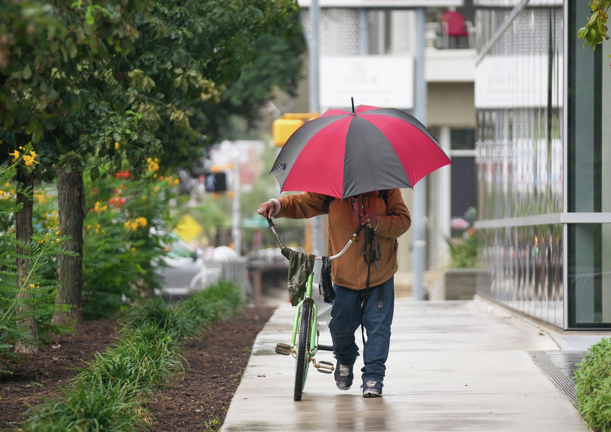
Central Texas collected between half an inch and four inches of rain over a three-day stretch ending Monday, with the heaviest totals — 3 to 4 inches — falling southwest of Austin near Uvalde. The Hill Country picked up 2 to 3 inches, while the I-35 corridor saw lighter accumulations. Crucially for a region nicknamed Flash Flood Alley, the moisture arrived without triggering widespread flooding.
Extraction Map
The rain pushed November 2026 to 2.66 inches month-to-date, making it Austin's eighth-wettest November on record — about 1.7 inches above the normal pace for the first ten days of the month. That sounds generous until you zoom out: since September 1, Austin has logged only 6.2 inches against a typical 8-plus, leaving a meteorological-fall deficit of just over 2 inches. The weekend was a dent in a larger hole. Tuesday brings the tail end of the departing low-pressure system — mostly cloudy skies, patchy fog, a few sprinkles, with the best remaining rain chances along I-10 south of Austin. Afternoon highs will land near 70 degrees, close to the seasonal average of 74. Wednesday warms toward 80 before a weak, dry cold front slides in Thursday morning. The back half of the week and the weekend look pleasant by any measure: sunshine, lower humidity, no rain chances, highs in the low-to-mid 70s, and overnight lows dipping into the upper 40s to lower 50s. It is the kind of stretch that makes Austin's November reputation. The bigger structural story is in the Pacific. A very strong El Niño is maintaining historically strong intensity, with the Climate Prediction Center placing an 83% probability that it persists as a strong or very strong event through January–March 2027 — potentially reaching super El Niño status. For Texas, that translates to an active southern jet stream steering more storm systems into the state. The CPC's rainfall outlooks at every time horizon — 6-10 days, 8-14 days, 3-4 weeks, and 3 months — all favor above-normal precipitation for most of Texas. If those outlooks verify, the current 2-inch seasonal deficit could close, and soil moisture, reservoir levels, and drought metrics would benefit heading into 2027. The weekend soaking was exactly the kind of event water managers want: slow, widespread, non-destructive. Whether El Niño delivers enough follow-up to erase the fall deficit is the open question for the rest of the season.
Worth reading?
RECOMMENDED
Score
72
/100
Mildly generative — free atmospheric water replenishes a deficit without extraction or cost-shifting, but the deficit persists and dependency on El Niño follow-through introduces uncertainty.
What Is GRIN?
GRIN stands for Generativity, Resilience, Innovation efficiency, and Novelty openness. These four dimensions capture the essential characteristics of any memetic intelligence — whether a nation, a corporation, a religion, or a movement.
About GRINGenerativity
3/5
Resilience
3/5
Efficiency
4/5
Novelty
3/5
Extractive
0/5
Inverted
Does this create new capability or just redistribute existing value?
Nature doing the work for free. Rainfall creates real value — soil moisture, reservoir recharge, reduced drought stress — with zero cost to anyone. Pure generativity, modest in scale.
Verified Facts (8)
Rainfall totals reached 3 to 4 inches in pockets southwest of Austin, including near Uvalde
Much of the Hill Country picked up 2 to 3 inches
locations closer to the Interstate 35 corridor generally received between a half-inch and an inch of rain
November 2026 is now Austin's eighth-wettest November on record
2.66 inches of rain have been recorded, putting the month-to-date rainfall total about 1.7 inch above normal
Since Sept. 1, Austin has recorded 6.2 inches of rain
Typically, more than 8 inches would have fallen by this point in the season, leaving us with a deficit of just over 2 inches
83% chance of El Niño persisting as a strong or very strong event through the first three months of 2027
More latest news
Read all